 vesseltracker.com
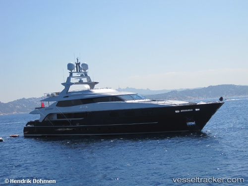
 TIAMAT
Current Status
Where is the vessel?
TIAMAT is currently in Near Monte-Carlo, based on AIS data received less than 1h ago.
Latest AIS update:
Current position: 43.73669° N, 7.42354° E (Near Monte-Carlo)
Average speed (last 7 days): Loading…
Average speed (last 30 days): Loading…
Vessel profile: TIAMAT is a Yacht with dimensions m x m.
This page combines live AIS, route history, probable destination signals, nearby traffic, and port activity for practical vessel monitoring.
The current position of vessel TIAMAT is 43.73669 lat / 7.42354 lng. Updated: 2026-05-15 13:07:34 UTCNearest reference points:
- Near Monaco
- Near Monte-Carlo
- Near SAINTJEAN CAP FERRAT
Currently sailing under the flag of Marshall Islands ![]()
Details:
Live Vessel TIAMAT Analytics (details, animations, etc.)
Recent AIS points (UTC):
2026-05-15 09:58:29 UTC · 43.73669, 7.42354 · SOG 0 kn · COG 177°2026-05-15 10:16:27 UTC · 43.73670, 7.42354 · SOG 0 kn · COG 177°
2026-05-15 11:40:30 UTC · 43.73670, 7.42355 · SOG 0 kn · COG 175°
2026-05-15 13:07:34 UTC · 43.73669, 7.42354 · SOG 0 kn · COG 177°