 vesseltracker.com
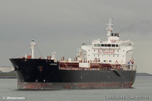
 LIPARI M
Current Status
Where is the vessel?
LIPARI M is currently in Near Naples, based on AIS data received less than 1h ago.
Latest AIS update:
Current position: 40.83686° N, 14.29194° E (Near Naples)
Average speed (last 7 days): Loading…
Average speed (last 30 days): Loading…
Vessel profile: LIPARI M is a Oil/Chemical Tanker with dimensions m x m.
This page combines live AIS, route history, probable destination signals, nearby traffic, and port activity for practical vessel monitoring.
The current position of vessel LIPARI M is 40.83686 lat / 14.29194 lng. Updated: 2026-05-15 22:10:12 UTCNearest reference points:
- Near Naples
- Near MERGELLINA
- Near Castellammare di Stabia
Currently sailing under the flag of Italy ![]()
Details:
Live Vessel LIPARI M Analytics (details, animations, etc.)
Recent AIS points (UTC):
2026-05-15 19:10:12 UTC · 40.83687, 14.29195 · SOG 0 kn · COG 209°2026-05-15 19:52:12 UTC · 40.83688, 14.29196 · SOG 0 kn · COG 209°
2026-05-15 21:43:12 UTC · 40.83685, 14.29193 · SOG 0.1 kn · COG 209°
2026-05-15 22:10:12 UTC · 40.83686, 14.29194 · SOG 0 kn · COG 209°