 vesseltracker.com
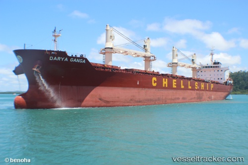
 LADY STEFI
Current Status
Where is the vessel?
LADY STEFI is currently in 12 nm N of Gávrion, based on AIS data received less than 1h ago.
Latest AIS update:
Current position: 38.08178° N, 24.69649° E (12 nm N of Gávrion)
Average speed (last 7 days): Loading…
Average speed (last 30 days): Loading…
Vessel profile: LADY STEFI is a Bulk Carrier with dimensions m x m.
This page combines live AIS, route history, probable destination signals, nearby traffic, and port activity for practical vessel monitoring.
The current position of vessel LADY STEFI is 38.08178 lat / 24.69649 lng. Updated: 2026-05-15 18:16:51 UTCNearest reference points:
- Near Agia Marina Grammatikou Attikis
- Near Kéa (Tzia)
- Near LAVRIO
Currently sailing under the flag of Barbados ![]()
Details:
Live Vessel LADY STEFI Analytics (details, animations, etc.)
Recent AIS points (UTC):
2026-05-15 14:00:52 UTC · 37.63049, 23.88582 · SOG 11.8 kn · COG 97°2026-05-15 16:11:01 UTC · 37.79040, 24.35758 · SOG 12 kn · COG 44°
2026-05-15 17:06:00 UTC · 37.91255, 24.52314 · SOG 11 kn · COG 49°
2026-05-15 18:16:51 UTC · 38.08178, 24.69649 · SOG 11.4 kn · COG 26°