 vesseltracker.com
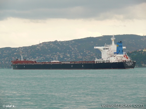
Flag Thenia
Current StatusWhere is the vessel?
Flag Thenia is currently in 140 nm W of Bolinao, based on AIS data received less than 1h ago.
Latest AIS update:
Current position: 16.38667° N, 117.45833° E (140 nm W of Bolinao)
Average speed (last 7 days): Loading…
Average speed (last 30 days): Loading…
Vessel profile: Flag Thenia is a Bulk Carrier with dimensions 45m x 292m.
This page combines live AIS, route history, probable destination signals, nearby traffic, and port activity for practical vessel monitoring.
The current position of vessel Flag Thenia is 16.38667 lat / 117.45833 lng. Updated: 2026-05-13 04:36:44 UTCNearest reference points:
- 138 nm NW of Bolinao
- 222 nm W of Iba
- 34 nm W of Iba
Details:
Live Vessel Flag Thenia Analytics (details, animations, etc.)
Recent AIS points (UTC):
2026-05-13 01:00:46 UTC · 16.83500, 116.98500 · SOG 10 kn · COG -1°2026-05-13 01:51:51 UTC · 16.72833, 117.09333 · SOG 10 kn · COG -1°
2026-05-13 02:24:46 UTC · 16.65833, 117.16333 · SOG 10 kn · COG -1°
2026-05-13 04:36:44 UTC · 16.38667, 117.45833 · SOG 10 kn · COG -1°