 vesseltracker.com
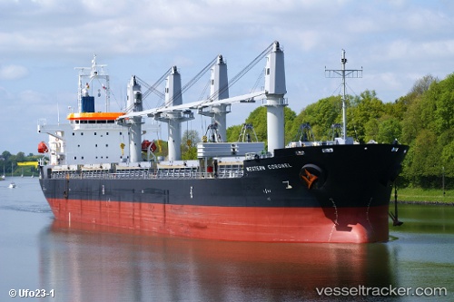
 T CLEVER
Current Status
Where is the vessel?
T CLEVER is currently in 30 nm E of Surfside, based on AIS data received less than 1h ago.
Latest AIS update:
Current position: 25.79432° N, 79.56836° W (30 nm E of Surfside)
Average speed (last 7 days): Loading…
Average speed (last 30 days): Loading…
Vessel profile: T CLEVER is a Cargo with dimensions m x m.
This page combines live AIS, route history, probable destination signals, nearby traffic, and port activity for practical vessel monitoring.
The current position of vessel T CLEVER is 25.79432 lat / -79.56836 lng. Updated: 2026-04-25 07:51:39 UTCNearest reference points:
- 44 nm E of Surfside
- Near Fort Lauderdale
- Near Fisher Island, Miami
Currently sailing under the flag of Panama ![]()
Details:
Live Vessel T CLEVER Analytics (details, animations, etc.)
Recent AIS points (UTC):
2026-04-25 04:31:18 UTC · 26.39631, -79.44850 · SOG 11.1 kn · COG 193°2026-04-25 06:14:38 UTC · 26.08764, -79.51444 · SOG 11.1 kn · COG 189°
2026-04-25 07:26:38 UTC · 25.86960, -79.54961 · SOG 11 kn · COG 192°
2026-04-25 07:51:39 UTC · 25.79432, -79.56836 · SOG 11 kn · COG 191°