 vesseltracker.com
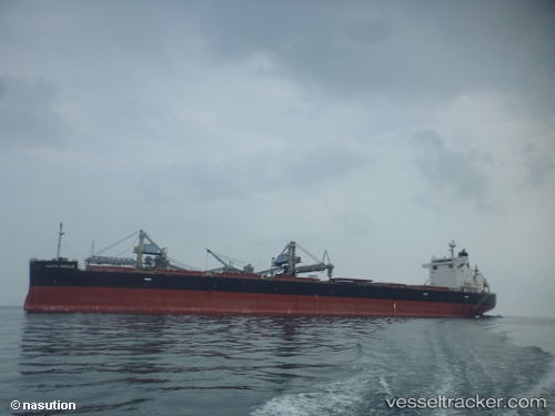
Santa Emilia
Current StatusWhere is the vessel?
Santa Emilia is currently in 105 nm SW of Bodega Bay, based on AIS data received about 1h ago.
Latest AIS update:
Current position: 37.32384° N, 124.86187° W (105 nm SW of Bodega Bay)
Average speed (last 7 days): Loading…
Average speed (last 30 days): Loading…
Vessel profile: Santa Emilia is a Bulk Carrier with dimensions 32m x 224m.
This page combines live AIS, route history, probable destination signals, nearby traffic, and port activity for practical vessel monitoring.
The current position of vessel Santa Emilia is 37.32384 lat / -124.86187 lng. Updated: 2026-05-15 13:55:21 UTCNearest reference points:
- Near Bodega Bay
- Near Little River
- Near Marin City
Details:
Live Vessel Santa Emilia Analytics (details, animations, etc.)
Recent AIS points (UTC):
2026-05-15 10:10:59 UTC · 37.23377, -125.66377 · SOG 9.8 kn · COG 74°2026-05-15 11:57:59 UTC · 37.28019, -125.30336 · SOG 11 kn · COG 79°
2026-05-15 13:49:38 UTC · 37.32202, -124.88377 · SOG 11 kn · COG 78°
2026-05-15 13:55:21 UTC · 37.32384, -124.86187 · SOG 11 kn · COG 77°