 vesseltracker.com
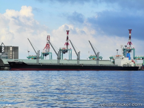
 S BOUND
Current Status
Where is the vessel?
S BOUND is currently in 63 nm S of Sabine Pass, based on AIS data received less than 1h ago.
Latest AIS update:
Current position: 28.69189° N, 93.63330° W (63 nm S of Sabine Pass)
Average speed (last 7 days): Loading…
Average speed (last 30 days): Loading…
Vessel profile: S BOUND is a Bulk Carrier with dimensions m x m.
This page combines live AIS, route history, probable destination signals, nearby traffic, and port activity for practical vessel monitoring.
The current position of vessel S BOUND is 28.69189 lat / -93.63330 lng. Updated: 2026-05-13 11:38:46 UTCNearest reference points:
- 45 nm SE of Galveston
- 40 nm SE of Galveston
- 43 nm SE of Sheppard
Currently sailing under the flag of Marshall Islands ![]()
Details:
Live Vessel S BOUND Analytics (details, animations, etc.)
Recent AIS points (UTC):
2026-05-13 01:57:26 UTC · 27.60848, -92.83590 · SOG 1.2 kn · COG 296°2026-05-13 09:06:32 UTC · 28.37070, -93.12071 · SOG 13.2 kn · COG 306°
2026-05-13 11:01:47 UTC · 28.61396, -93.50644 · SOG 13.1 kn · COG 307°
2026-05-13 11:38:46 UTC · 28.69189, -93.63330 · SOG 13.2 kn · COG 307°