 vesseltracker.com
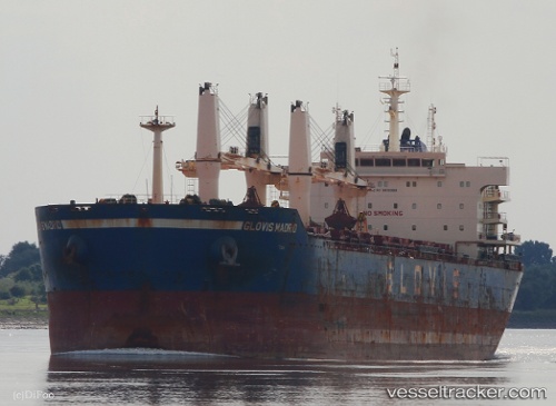
 ASTERAS
Current Status
Where is the vessel?
ASTERAS is currently in Near Atumi, based on AIS data received about 1h ago.
Latest AIS update:
Current position: 34.57126° N, 136.99493° E (Near Atumi)
Average speed (last 7 days): Loading…
Average speed (last 30 days): Loading…
Vessel profile: ASTERAS is a Bulk Carrier with dimensions m x m.
This page combines live AIS, route history, probable destination signals, nearby traffic, and port activity for practical vessel monitoring.
The current position of vessel ASTERAS is 34.57126 lat / 136.99493 lng. Updated: 2026-04-24 22:24:42 UTCNearest reference points:
- Near Atumi
- Near Mihama
- 12 nm E of TOBA
Currently sailing under the flag of Marshall Islands ![]()
Details:
Live Vessel ASTERAS Analytics (details, animations, etc.)
Recent AIS points (UTC):
2026-04-24 19:27:22 UTC · 34.37586, 137.60149 · SOG 12.1 kn · COG 281°2026-04-24 19:27:42 UTC · 34.37605, 137.60017 · SOG 12.1 kn · COG 280°
2026-04-24 22:15:22 UTC · 34.55362, 137.01764 · SOG 9.5 kn · COG 314°
2026-04-24 22:24:42 UTC · 34.57126, 136.99493 · SOG 10.5 kn · COG 316°