 vesseltracker.com
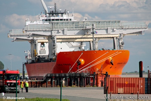
 SAGA FRIGG
Current Status
Where is the vessel?
SAGA FRIGG is currently in 42 nm E of Saint-Rémy-sur-Durolle, based on AIS data received less than 1h ago.
Latest AIS update:
Current position: 45.92656° N, 2.59724° W (42 nm E of Saint-Rémy-sur-Durolle)
Average speed (last 7 days): Loading…
Average speed (last 30 days): Loading…
Vessel profile: SAGA FRIGG is a Cargo/Container Ship with dimensions m x m.
This page combines live AIS, route history, probable destination signals, nearby traffic, and port activity for practical vessel monitoring.
The current position of vessel SAGA FRIGG is 45.92656 lat / -2.59724 lng. Updated: 2026-05-15 17:33:50 UTCNearest reference points:
- 17 nm S of L'Île-d'Yeu
- Near LES SABLES D OLONNE
- Near Saint-Gilles-Croix-de-Vie
Currently sailing under the flag of Bahamas ![]()
Details:
Live Vessel SAGA FRIGG Analytics (details, animations, etc.)
Recent AIS points (UTC):
2026-05-15 13:49:08 UTC · 45.82841, -3.14545 · SOG 1.7 kn · COG 328°2026-05-15 16:01:08 UTC · 45.86578, -2.87967 · SOG 5.9 kn · COG 79°
2026-05-15 16:34:47 UTC · 45.87809, -2.78754 · SOG 8.2 kn · COG 68°
2026-05-15 17:33:50 UTC · 45.92656, -2.59724 · SOG 8.5 kn · COG 69°