 vesseltracker.com
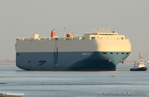
Galaxy Ace
Current StatusWhere is the vessel?
Galaxy Ace is currently in 316 nm W of Calang, based on AIS data received about 1h ago.
Latest AIS update:
Current position: 2.82751° N, 90.62812° E (316 nm W of Calang)
Average speed (last 7 days): Loading…
Average speed (last 30 days): Loading…
Vessel profile: Galaxy Ace is a Vehicles Carrier with dimensions 32m x 199m.
This page combines live AIS, route history, probable destination signals, nearby traffic, and port activity for practical vessel monitoring.
The current position of vessel Galaxy Ace is 2.82751 lat / 90.62812 lng. Updated: 2026-05-15 15:36:38 UTCNearest reference points:
- Open sea, approx. 401 nm off the nearest listed port
- Open sea, approx. 403 nm off the nearest listed port
- Open sea, approx. 408 nm off the nearest listed port
Details:
Live Vessel Galaxy Ace Analytics (details, animations, etc.)
Recent AIS points (UTC):
2026-05-15 12:25:39 UTC · 2.15010, 89.96807 · SOG 18.3 kn · COG 41°2026-05-15 13:24:09 UTC · 2.36280, 90.17522 · SOG 17.9 kn · COG 42°
2026-05-15 13:24:09 UTC · 2.36280, 90.17522 · SOG 17.9 kn · COG 42°
2026-05-15 15:36:38 UTC · 2.82751, 90.62812 · SOG 17.5 kn · COG 48°