 vesseltracker.com
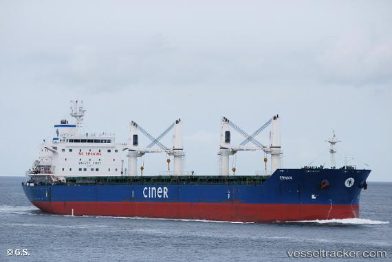
 BLUE HORIZON
Current Status
Where is the vessel?
BLUE HORIZON is currently in 106 nm SE of Praia, based on AIS data received about 1h ago.
Latest AIS update:
Current position: 13.41167° N, 22.52333° W (106 nm SE of Praia)
Average speed (last 7 days): Loading…
Average speed (last 30 days): Loading…
Vessel profile: BLUE HORIZON is a Bulk Carrier with dimensions m x m.
This page combines live AIS, route history, probable destination signals, nearby traffic, and port activity for practical vessel monitoring.
The current position of vessel BLUE HORIZON is 13.41167 lat / -22.52333 lng. Updated: 2026-05-15 05:47:14 UTCCurrently sailing under the flag of Liberia ![]()
Details:
Live Vessel BLUE HORIZON Analytics (details, animations, etc.)
Recent AIS points (UTC):
2026-05-14 23:35:15 UTC · 12.65500, -22.90333 · SOG 8 kn · COG -1°2026-05-15 04:11:15 UTC · 13.21833, -22.62167 · SOG 7 kn · COG -1°
2026-05-15 04:20:11 UTC · 13.23608, -22.61401 · SOG 7.7 kn · COG 25°
2026-05-15 05:47:14 UTC · 13.41167, -22.52333 · SOG 8 kn · COG -1°