 vesseltracker.com
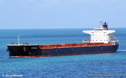
Rtm Dias
Current StatusWhere is the vessel?
Rtm Dias is currently in 30 nm W of LIZARD ISLAND, based on AIS data received less than 1h ago.
Latest AIS update:
Current position: 14.53985° S, 144.94958° E (30 nm W of LIZARD ISLAND)
Average speed (last 7 days): Loading…
Average speed (last 30 days): Loading…
Vessel profile: Rtm Dias is a Bulk Carrier with dimensions 38m x 235m.
This page combines live AIS, route history, probable destination signals, nearby traffic, and port activity for practical vessel monitoring.
The current position of vessel Rtm Dias is -14.53985 lat / 144.94958 lng. Updated: 2026-05-13 22:14:47 UTCNearest reference points:
- Near CAIRNS
Details:
Live Vessel Rtm Dias Analytics (details, animations, etc.)
Recent AIS points (UTC):
2026-05-13 19:29:53 UTC · -14.91030, 145.37289 · SOG 12.7 kn · COG 329°2026-05-13 20:03:05 UTC · -14.80825, 145.30733 · SOG 12.6 kn · COG 330°
2026-05-13 22:06:14 UTC · -14.55148, 144.97804 · SOG 12.6 kn · COG 292°
2026-05-13 22:14:47 UTC · -14.53985, 144.94958 · SOG 12.7 kn · COG 292°