 vesseltracker.com
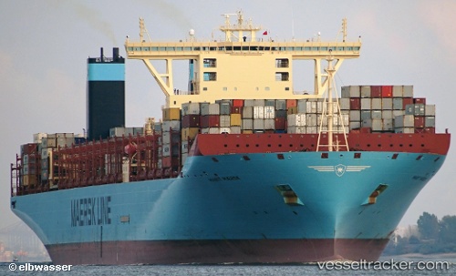
Marit Maersk
Current StatusWhere is the vessel?
Marit Maersk is currently in 21 nm S of Cape Agulhas, based on AIS data received less than 1h ago.
Latest AIS update:
Current position: 35.16618° S, 19.86467° E (21 nm S of Cape Agulhas)
Average speed (last 7 days): Loading…
Average speed (last 30 days): Loading…
Vessel profile: Marit Maersk is a Container Ship with dimensions 60m x 399m.
This page combines live AIS, route history, probable destination signals, nearby traffic, and port activity for practical vessel monitoring.
The current position of vessel Marit Maersk is -35.16618 lat / 19.86467 lng. Updated: 2026-05-16 04:01:59 UTCNearest reference points:
- 15 nm SE of Moorreesburg
- Near Mitchells Plain
- 18 nm SW of Cape Of Good Hope
Details:
Live Vessel Marit Maersk Analytics (details, animations, etc.)
Recent AIS points (UTC):
2026-05-16 01:26:04 UTC · -34.83628, 19.11381 · SOG 15.8 kn · COG 119°2026-05-16 01:47:19 UTC · -34.88242, 19.21533 · SOG 16.8 kn · COG 121°
2026-05-16 03:25:07 UTC · -35.10238, 19.67205 · SOG 16.7 kn · COG 112°
2026-05-16 04:01:59 UTC · -35.16618, 19.86467 · SOG 17.1 kn · COG 112°