 vesseltracker.com
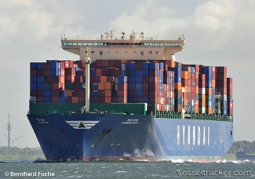
 HYUNDAI HOPE
Current Status
Where is the vessel?
HYUNDAI HOPE is currently in 76 nm W of Yof, based on AIS data received less than 1h ago.
Latest AIS update:
Current position: 15.09169° N, 18.73506° W (76 nm W of Yof)
Average speed (last 7 days): Loading…
Average speed (last 30 days): Loading…
Vessel profile: HYUNDAI HOPE is a Container Ship with dimensions 48m x 366m.
This page combines live AIS, route history, probable destination signals, nearby traffic, and port activity for practical vessel monitoring.
The current position of vessel HYUNDAI HOPE is 15.09169 lat / -18.73506 lng. Updated: 2026-05-16 15:41:23 UTCNearest reference points:
- Near Dakar
- Near Rufisque
- 100 nm NW of Saint Louis
Currently sailing under the flag of Korea (Republic of) ![]()
HYUNDAI HOPE built in 2014 year
Deadweight:
145683 tDetails:
Live Vessel HYUNDAI HOPE Analytics (details, animations, etc.)
Recent AIS points (UTC):
2026-05-16 12:11:20 UTC · 15.88979, -18.68852 · SOG 13.4 kn · COG 178°2026-05-16 13:12:07 UTC · 15.65982, -18.69780 · SOG 13.6 kn · COG 186°
2026-05-16 13:29:19 UTC · 15.59508, -18.70384 · SOG 13.7 kn · COG 185°
2026-05-16 15:41:23 UTC · 15.09169, -18.73506 · SOG 13.3 kn · COG 171°