 vesseltracker.com
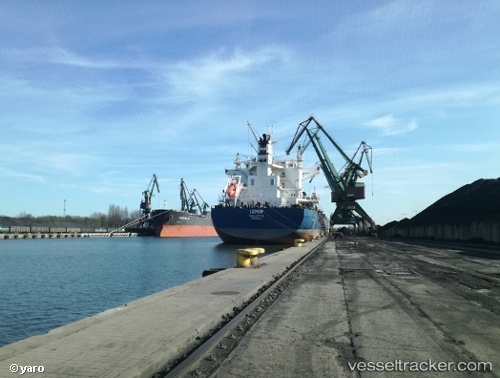
 UNION ODYSSEY
Current Status
Where is the vessel?
UNION ODYSSEY is currently in 97 nm E of Ryuo, based on AIS data received less than 1h ago.
Latest AIS update:
Current position: 36.12358° N, 18.53010° E (97 nm E of Ryuo)
Average speed (last 7 days): Loading…
Average speed (last 30 days): Loading…
Vessel profile: UNION ODYSSEY is a Bulk Carrier with dimensions m x m.
This page combines live AIS, route history, probable destination signals, nearby traffic, and port activity for practical vessel monitoring.
The current position of vessel UNION ODYSSEY is 36.12358 lat / 18.53010 lng. Updated: 2026-05-13 15:37:11 UTCNearest reference points:
- 103 nm NE of Ryuo
- 73 nm N of Pinelands
- 64 nm NE of Ryuo
Currently sailing under the flag of Marshall Islands ![]()
Details:
Live Vessel UNION ODYSSEY Analytics (details, animations, etc.)
Recent AIS points (UTC):
2026-05-13 11:59:09 UTC · 36.16556, 19.32759 · SOG 11.3 kn · COG 265°2026-05-13 13:49:41 UTC · 36.14441, 18.91481 · SOG 10.9 kn · COG 269°
2026-05-13 14:15:39 UTC · 36.13871, 18.81864 · SOG 10.6 kn · COG 266°
2026-05-13 15:37:11 UTC · 36.12358, 18.53010 · SOG 10 kn · COG 267°