 vesseltracker.com
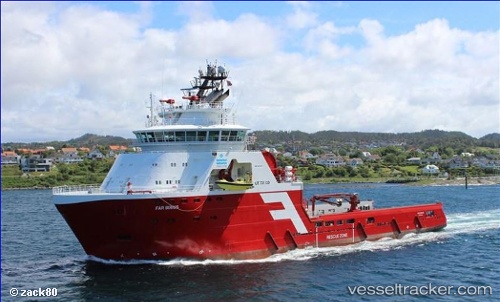
 NORMAND SIRIUS
Current Status
Where is the vessel?
NORMAND SIRIUS is currently in 17 nm E of Fluminense FPSO, based on AIS data received less than 1h ago.
Latest AIS update:
Current position: 22.56642° S, 40.12965° W (17 nm E of Fluminense FPSO)
Average speed (last 7 days): Loading…
Average speed (last 30 days): Loading…
Vessel profile: NORMAND SIRIUS is a Anchor Handling Vessel with dimensions m x m.
This page combines live AIS, route history, probable destination signals, nearby traffic, and port activity for practical vessel monitoring.
The current position of vessel NORMAND SIRIUS is -22.56642 lat / -40.12965 lng. Updated: 2026-05-15 22:08:29 UTCNearest reference points:
- Near Fluminense FPSO
- Near PORTO DO ACU
- 24 nm SE of Carapebus
Details:
Live Vessel NORMAND SIRIUS Analytics (details, animations, etc.)
Recent AIS points (UTC):
2026-05-15 18:21:54 UTC · -22.56029, -40.12039 · SOG 1.2 kn · COG 97°2026-05-15 19:50:19 UTC · -22.56015, -40.12477 · SOG 0.3 kn · COG 252°
2026-05-15 19:56:32 UTC · -22.56030, -40.12504 · SOG 0.9 kn · COG 255°
2026-05-15 22:08:29 UTC · -22.56642, -40.12965 · SOG 0.8 kn · COG 225°