 vesseltracker.com
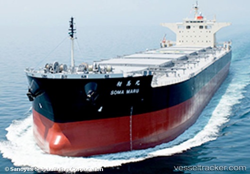
 Soma Maru
Current Status
Where is the vessel?
Soma Maru is currently in 10 nm SE of Byron Bay, based on AIS data received less than 1h ago.
Latest AIS update:
Current position: 28.74542° S, 153.77925° E (10 nm SE of Byron Bay)
Average speed (last 7 days): Loading…
Average speed (last 30 days): Loading…
Vessel profile: Soma Maru is a Bulk Carrier with dimensions 235m x 235m.
This page combines live AIS, route history, probable destination signals, nearby traffic, and port activity for practical vessel monitoring.
The current position of vessel Soma Maru is -28.74542 lat / 153.77925 lng. Updated: 2026-05-16 14:22:45 UTCNearest reference points:
- Near Gold Coast
- Near Labrador
- Near Biggera Waters
Currently sailing under the flag of Liberia ![]()
Details:
Live Vessel Soma Maru Analytics (details, animations, etc.)
Recent AIS points (UTC):
2026-05-16 10:53:56 UTC · -29.21310, 153.72882 · SOG 8.1 kn · COG 4°2026-05-16 11:45:53 UTC · -29.09711, 153.73363 · SOG 8.1 kn · COG 7°
2026-05-16 13:31:07 UTC · -28.86096, 153.76613 · SOG 8.1 kn · COG 6°
2026-05-16 14:22:45 UTC · -28.74542, 153.77925 · SOG 8.1 kn · COG 10°