 vesseltracker.com
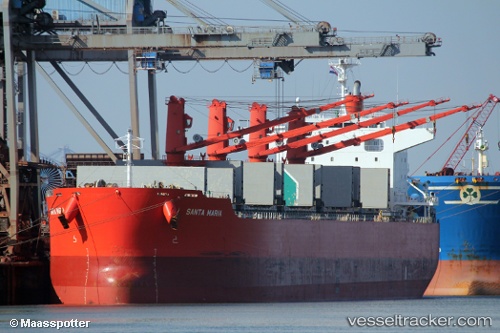
Santa Maria
Current StatusWhere is the vessel?
Santa Maria is currently in 67 nm NW of Omura, based on AIS data received about 7h ago.
Latest AIS update:
Current position: 27.99833° N, 141.48666° E (67 nm NW of Omura)
Average speed (last 7 days): Loading…
Average speed (last 30 days): Loading…
Vessel profile: Santa Maria is a Bulk Carrier with dimensions 32m x 199m.
This page combines live AIS, route history, probable destination signals, nearby traffic, and port activity for practical vessel monitoring.
The current position of vessel Santa Maria is 27.99833 lat / 141.48666 lng. Updated: 2026-04-08 15:54:07 UTCDetails:
Live Vessel Santa Maria Analytics (details, animations, etc.)
Recent AIS points (UTC):
2026-04-08 14:02:26 UTC · 27.93146, 141.81006 · SOG 9.6 kn · COG 276°2026-04-08 15:54:07 UTC · 27.99833, 141.48666 · SOG 9 kn · COG -1°
2026-04-08 15:54:07 UTC · 27.99833, 141.48666 · SOG 9 kn · COG -1°
2026-04-08 15:54:07 UTC · 27.99833, 141.48666 · SOG 9 kn · COG -1°