 vesseltracker.com
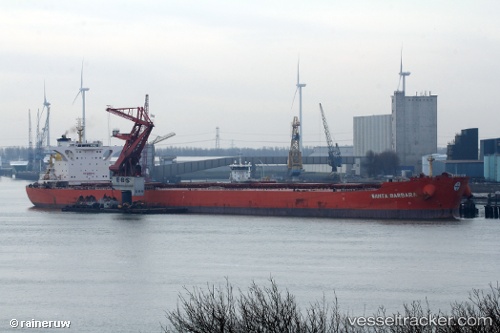
Santa Barbara
Current StatusWhere is the vessel?
Santa Barbara is currently in 14 nm S of Lushun New Pt, based on AIS data received less than 1h ago.
Latest AIS update:
Current position: 38.46157° N, 121.11494° E (14 nm S of Lushun New Pt)
Average speed (last 7 days): Loading…
Average speed (last 30 days): Loading…
Vessel profile: Santa Barbara is a Bulk Carrier with dimensions 46m x 295m.
This page combines live AIS, route history, probable destination signals, nearby traffic, and port activity for practical vessel monitoring.
The current position of vessel Santa Barbara is 38.46157 lat / 121.11494 lng. Updated: 2026-05-13 14:04:56 UTCNearest reference points:
- 13 nm S of Lushun New Pt
- Near Lushun New Pt
- 20 nm S of Lushun New Pt
Details:
Live Vessel Santa Barbara Analytics (details, animations, etc.)
Recent AIS points (UTC):
2026-05-13 10:08:33 UTC · 39.03573, 120.85930 · SOG 12 kn · COG 182°2026-05-13 12:06:15 UTC · 38.68691, 120.85303 · SOG 10.2 kn · COG 162°
2026-05-13 14:03:25 UTC · 38.46361, 121.10983 · SOG 11.1 kn · COG 116°
2026-05-13 14:04:56 UTC · 38.46157, 121.11494 · SOG 11.1 kn · COG 116°