 vesseltracker.com
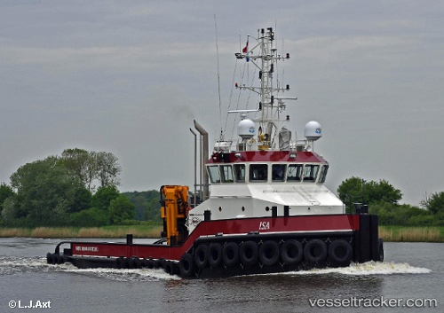
 ELISA
ELISA
Current Status
Where is the vessel?
ELISA is currently in 26 nm S of Ferring, based on AIS data received less than 1h ago.
Latest AIS update:
Current position: 50.38227° N, 0.30004° W (26 nm S of Ferring)
Average speed (last 7 days): Loading…
Average speed (last 30 days): Loading…
Vessel profile: ELISA is a Tug with dimensions m x m.
This page combines live AIS, route history, probable destination signals, nearby traffic, and port activity for practical vessel monitoring.
The current position of vessel ELISA is 50.38227 lat / -0.30004 lng. Updated: 2026-05-15 13:49:59 UTCNearest reference points:
- 23 nm S of Ferring
- 27 nm S of Seaford
- 15 nm S of Selsey
Currently sailing under the flag of Gibraltar ![]()
Details:
Live Vessel ELISA Analytics (details, animations, etc.)
Recent AIS points (UTC):
2026-05-15 10:06:31 UTC · 50.41949, -0.47275 · SOG 3 kn · COG 101°2026-05-15 11:47:29 UTC · 50.40024, -0.37944 · SOG 1.7 kn · COG 90°
2026-05-15 13:05:40 UTC · 50.38840, -0.32778 · SOG 1.4 kn · COG 88°
2026-05-15 13:49:59 UTC · 50.38227, -0.30004 · SOG 1.6 kn · COG 83°