 vesseltracker.com
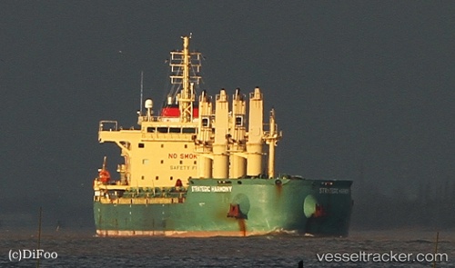
Strategic Harmony
Current StatusWhere is the vessel?
Strategic Harmony is currently in 54 nm S of Abraham Bay, based on AIS data received about 2h ago.
Latest AIS update:
Current position: 21.44333° N, 72.81333° W (54 nm S of Abraham Bay)
Average speed (last 7 days): Loading…
Average speed (last 30 days): Loading…
Vessel profile: Strategic Harmony is a Bulk Carrier with dimensions 30m x 180m.
This page combines live AIS, route history, probable destination signals, nearby traffic, and port activity for practical vessel monitoring.
The current position of vessel Strategic Harmony is 21.44333 lat / -72.81333 lng. Updated: 2026-04-06 04:16:59 UTCNearest reference points:
- 47 nm SW of Cockburn Harbour
- 56 nm SW of Cockburn Harbour
- 38 nm SW of Cockburn Harbour
Details:
Live Vessel Strategic Harmony Analytics (details, animations, etc.)
Recent AIS points (UTC):
2026-04-05 22:07:57 UTC · 22.56333, -72.28167 · SOG 11 kn · COG -1°2026-04-05 23:56:00 UTC · 22.24000, -72.41667 · SOG 11 kn · COG -1°
2026-04-06 01:53:26 UTC · 21.88233, -72.60108 · SOG 12.4 kn · COG 202°
2026-04-06 04:16:59 UTC · 21.44333, -72.81333 · SOG 11 kn · COG -1°