 vesseltracker.com
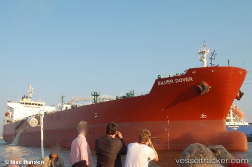
 TORM DAGNY
Current Status
Where is the vessel?
TORM DAGNY is currently in 105 nm E of Richards Bay, based on AIS data received less than 1h ago.
Latest AIS update:
Current position: 28.86070° S, 34.13028° E (105 nm E of Richards Bay)
Average speed (last 7 days): Loading…
Average speed (last 30 days): Loading…
Vessel profile: TORM DAGNY is a Tanker with dimensions m x m.
This page combines live AIS, route history, probable destination signals, nearby traffic, and port activity for practical vessel monitoring.
The current position of vessel TORM DAGNY is -28.86070 lat / 34.13028 lng. Updated: 2026-04-24 03:40:25 UTCNearest reference points:
- 42 nm E of Richards Bay
- 163 nm SE of Richards Bay
- 162 nm SE of Xai-Xai
Currently sailing under the flag of Denmark ![]()
Details:
Live Vessel TORM DAGNY Analytics (details, animations, etc.)
Recent AIS points (UTC):
2026-04-24 00:08:46 UTC · -28.70798, 34.86322 · SOG 11.3 kn · COG 256°2026-04-24 01:32:44 UTC · -28.77157, 34.56816 · SOG 11.3 kn · COG 259°
2026-04-24 02:03:54 UTC · -28.79347, 34.45945 · SOG 11.2 kn · COG 260°
2026-04-24 03:40:25 UTC · -28.86070, 34.13028 · SOG 11 kn · COG 259°