 vesseltracker.com
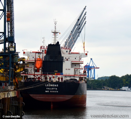
 Leonidas
Current Status
Where is the vessel?
Leonidas is currently in Near Abidjan, based on AIS data received less than 1h ago.
Latest AIS update:
Current position: 5.30848° N, 4.02325° W (Near Abidjan)
Average speed (last 7 days): Loading…
Average speed (last 30 days): Loading…
Vessel profile: Leonidas is a Bulk Carrier with dimensions 200m x 200m.
This page combines live AIS, route history, probable destination signals, nearby traffic, and port activity for practical vessel monitoring.
The current position of vessel Leonidas is 5.30848 lat / -4.02325 lng. Updated: 2026-05-15 10:06:27 UTCNearest reference points:
- Near Abidjan
- Near Vridi
- Near Espoir
Currently sailing under the flag of Malta ![]()
Details:
Live Vessel Leonidas Analytics (details, animations, etc.)
Recent AIS points (UTC):
2026-05-15 07:34:26 UTC · 5.30833, -4.02167 · SOG 0 kn · COG -1°2026-05-15 08:15:26 UTC · 5.30851, -4.02326 · SOG 0 kn · COG 45°
2026-05-15 09:25:25 UTC · 5.30833, -4.02167 · SOG 0 kn · COG -1°
2026-05-15 10:06:27 UTC · 5.30848, -4.02325 · SOG 0 kn · COG 45°