 vesseltracker.com
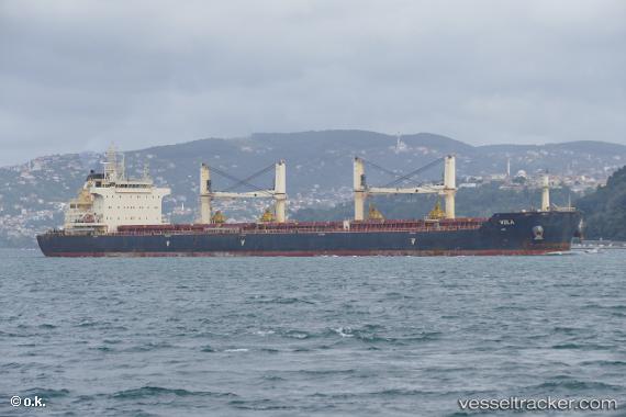
 NICOS TOMASOS
Current Status
Where is the vessel?
NICOS TOMASOS is currently in Near Hammerhavn, based on AIS data received less than 1h ago.
Latest AIS update:
Current position: 55.37650° N, 14.62231° E (Near Hammerhavn)
Average speed (last 7 days): Loading…
Average speed (last 30 days): Loading…
Vessel profile: NICOS TOMASOS is a Cargo with dimensions m x m.
This page combines live AIS, route history, probable destination signals, nearby traffic, and port activity for practical vessel monitoring.
The current position of vessel NICOS TOMASOS is 55.37650 lat / 14.62231 lng. Updated: 2026-05-12 22:27:29 UTCNearest reference points:
- Near TEJN
- Near Åhus
- Near Sölvesborg
Currently sailing under the flag of Malta ![]()
Details:
Live Vessel NICOS TOMASOS Analytics (details, animations, etc.)
Recent AIS points (UTC):
2026-05-12 19:22:49 UTC · 55.19109, 13.64405 · SOG 13.2 kn · COG 97°2026-05-12 20:00:09 UTC · 55.17253, 13.87675 · SOG 12.8 kn · COG 97°
2026-05-12 21:52:19 UTC · 55.28089, 14.48198 · SOG 12.9 kn · COG 40°
2026-05-12 22:27:29 UTC · 55.37650, 14.62231 · SOG 12.6 kn · COG 42°