 vesseltracker.com
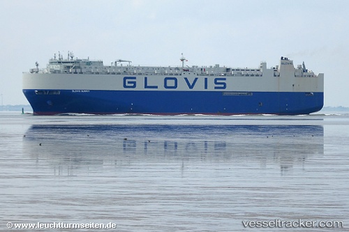
 GLOVIS SUMMIT
Current Status
Where is the vessel?
GLOVIS SUMMIT is currently in 65 nm S of Boboras, based on AIS data received about 1h ago.
Latest AIS update:
Current position: 45.39813° N, 8.56712° W (65 nm S of Boboras)
Average speed (last 7 days): Loading…
Average speed (last 30 days): Loading…
Vessel profile: GLOVIS SUMMIT is a Vehicles Carrier with dimensions m x m.
This page combines live AIS, route history, probable destination signals, nearby traffic, and port activity for practical vessel monitoring.
The current position of vessel GLOVIS SUMMIT is 45.39813 lat / -8.56712 lng. Updated: 2026-05-16 10:09:29 UTCNearest reference points:
- 57 nm S of Boboras
- 22 nm N of Carino
- 30 nm NW of Meiras-Valdoviño
Currently sailing under the flag of South Korea ![]()
Details:
Live Vessel GLOVIS SUMMIT Analytics (details, animations, etc.)
Recent AIS points (UTC):
2026-05-16 07:15:41 UTC · 46.17186, -7.96574 · SOG 18.8 kn · COG 211°2026-05-16 07:49:11 UTC · 46.02154, -8.08465 · SOG 18.3 kn · COG 210°
2026-05-16 10:05:04 UTC · 45.41788, -8.55067 · SOG 18 kn · COG 213°
2026-05-16 10:09:29 UTC · 45.39813, -8.56712 · SOG 18.1 kn · COG 213°