 vesseltracker.com
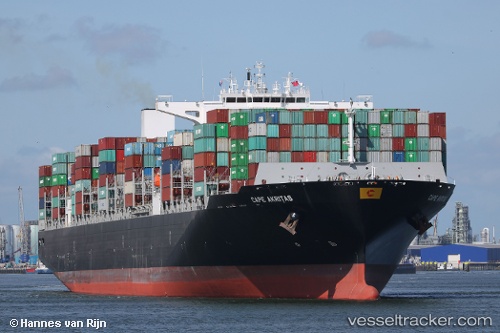
 Cape Akritas
Current Status
Where is the vessel?
Cape Akritas is currently in 173 nm E of Frégate, based on AIS data received less than 1h ago.
Latest AIS update:
Current position: 5.58990° S, 58.64855° E (173 nm E of Frégate)
Average speed (last 7 days): Loading…
Average speed (last 30 days): Loading…
Vessel profile: Cape Akritas is a Container Ship with dimensions 330m x 48m.
This page combines live AIS, route history, probable destination signals, nearby traffic, and port activity for practical vessel monitoring.
The current position of vessel Cape Akritas is -5.58990 lat / 58.64855 lng. Updated: 2026-05-15 19:18:52 UTCNearest reference points:
- 104 nm S of Akpo
Currently sailing under the flag of Malta ![]()
Details:
Live Vessel Cape Akritas Analytics (details, animations, etc.)
Recent AIS points (UTC):
2026-05-15 15:27:43 UTC · -4.85386, 59.67068 · SOG 19.3 kn · COG 234°2026-05-15 16:42:19 UTC · -5.09322, 59.34139 · SOG 19.7 kn · COG 235°
2026-05-15 17:39:59 UTC · -5.27864, 59.08470 · SOG 19.7 kn · COG 235°
2026-05-15 19:18:52 UTC · -5.58990, 58.64855 · SOG 19.4 kn · COG 234°