 vesseltracker.com
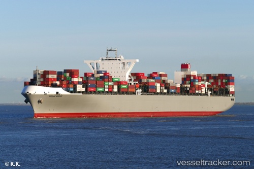
 Millau Bridge
Current Status
Where is the vessel?
Millau Bridge is currently in 333 nm NW of Juazeiro-Pi, based on AIS data received about 1h ago.
Latest AIS update:
Current position: 9.40563° N, 45.26378° W (333 nm NW of Juazeiro-Pi)
Average speed (last 7 days): Loading…
Average speed (last 30 days): Loading…
Vessel profile: Millau Bridge is a Container Ship with dimensions 366m x 51m.
This page combines live AIS, route history, probable destination signals, nearby traffic, and port activity for practical vessel monitoring.
The current position of vessel Millau Bridge is 9.40563 lat / -45.26378 lng. Updated: 2026-05-15 23:36:02 UTCNearest reference points:
- Open sea, approx. 409 nm off the nearest listed port
- Open sea, approx. 412 nm off the nearest listed port
- Open sea, approx. 403 nm off the nearest listed port
Currently sailing under the flag of Panama ![]()
Details:
Live Vessel Millau Bridge Analytics (details, animations, etc.)
Recent AIS points (UTC):
2026-05-15 19:53:10 UTC · 9.87100, -45.80964 · SOG 11.8 kn · COG 129°2026-05-15 22:07:28 UTC · 9.59029, -45.47400 · SOG 11.7 kn · COG 128°
2026-05-15 22:35:01 UTC · 9.53244, -45.40796 · SOG 11.1 kn · COG 128°
2026-05-15 23:36:02 UTC · 9.40563, -45.26378 · SOG 11.1 kn · COG 126°