 vesseltracker.com
 OLANGO ISLAND
Current Status
Where is the vessel?
OLANGO ISLAND is currently in Near Quequen, based on AIS data received less than 1h ago.
Latest AIS update:
Current position: 38.69051° S, 58.54714° W (Near Quequen)
Average speed (last 7 days): Loading…
Average speed (last 30 days): Loading…
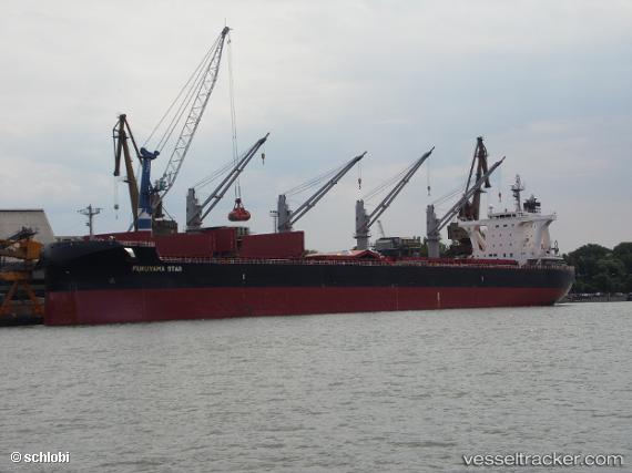
Vessel profile: OLANGO ISLAND is a Cargo with dimensions m x m.
This page combines live AIS, route history, probable destination signals, nearby traffic, and port activity for practical vessel monitoring.
The current position of vessel OLANGO ISLAND is -38.69051 lat / -58.54714 lng. Updated: 2026-04-25 03:38:06 UTCNearest reference points:
- Near NECOCHEA
- Near Mar Del Plata
Currently sailing under the flag of Singapore ![]()
Details:
Live Vessel OLANGO ISLAND Analytics (details, animations, etc.)
Recent AIS points (UTC):
2026-04-24 23:41:07 UTC · -38.69068, -58.54685 · SOG 0.1 kn · COG 230°2026-04-25 01:11:09 UTC · -38.69054, -58.54690 · SOG 0.1 kn · COG 223°
2026-04-25 02:05:10 UTC · -38.69041, -58.54714 · SOG 0 kn · COG 210°
2026-04-25 03:38:06 UTC · -38.69051, -58.54714 · SOG 0 kn · COG 211°