 vesseltracker.com
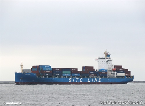
 HMM HARVEST
Current Status
Where is the vessel?
HMM HARVEST is currently in Near Kompong Som, based on AIS data received less than 1h ago.
Latest AIS update:
Current position: 10.66973° N, 103.45773° E (Near Kompong Som)
Average speed (last 7 days): Loading…
Average speed (last 30 days): Loading…
Vessel profile: HMM HARVEST is a Cargo with dimensions m x m.
This page combines live AIS, route history, probable destination signals, nearby traffic, and port activity for practical vessel monitoring.
The current position of vessel HMM HARVEST is 10.66973 lat / 103.45773 lng. Updated: 2026-04-26 08:15:28 UTCNearest reference points:
- Near KRONG PREAH SIHANOUK
- 63 nm NW of Dai Hung (STS Load)
- 43 nm E of Benchamas
Currently sailing under the flag of South Korea ![]()
Details:
Live Vessel HMM HARVEST Analytics (details, animations, etc.)
Recent AIS points (UTC):
2026-04-26 04:55:35 UTC · 10.67094, 103.45723 · SOG 0.1 kn · COG 103°2026-04-26 06:22:35 UTC · 10.67225, 103.45830 · SOG 0 kn · COG 169°
2026-04-26 08:04:35 UTC · 10.67225, 103.45845 · SOG 0.1 kn · COG 175°
2026-04-26 08:15:28 UTC · 10.66973, 103.45773 · SOG 0.1 kn · COG 52°