 vesseltracker.com
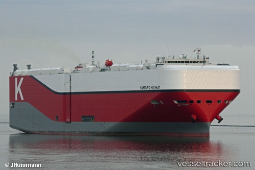
Hamburg Highway
Current StatusWhere is the vessel?
Hamburg Highway is currently in 32 nm S of Saga, based on AIS data received less than 1h ago.
Latest AIS update:
Current position: 32.58833° N, 133.32500° E (32 nm S of Saga)
Average speed (last 7 days): Loading…
Average speed (last 30 days): Loading…
Vessel profile: Hamburg Highway is a Vehicles Carrier with dimensions 38m x 199m.
This page combines live AIS, route history, probable destination signals, nearby traffic, and port activity for practical vessel monitoring.
The current position of vessel Hamburg Highway is 32.58833 lat / 133.32500 lng. Updated: 2026-05-16 11:50:52 UTCNearest reference points:
- 77 nm S of Sukumowan
- Near Kochi
- 19 nm SW of Sukumowan
Details:
Live Vessel Hamburg Highway Analytics (details, animations, etc.)
Recent AIS points (UTC):
2026-05-16 07:41:53 UTC · 32.81667, 134.29333 · SOG 12 kn · COG -1°2026-05-16 09:11:50 UTC · 32.73500, 133.94667 · SOG 12 kn · COG -1°
2026-05-16 10:34:46 UTC · 32.65127, 133.62697 · SOG 12.4 kn · COG 250°
2026-05-16 11:50:52 UTC · 32.58833, 133.32500 · SOG 12 kn · COG -1°