 vesseltracker.com
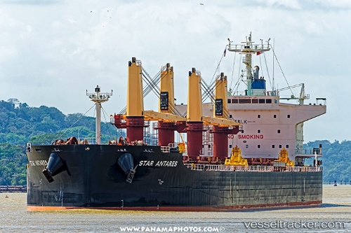
 STAR ANTARES
Current Status
Where is the vessel?
STAR ANTARES is currently in 46 nm W of HVIDE SANDE, based on AIS data received less than 1h ago.
Latest AIS update:
Current position: 56.08246° N, 6.76402° E (46 nm W of HVIDE SANDE)
Average speed (last 7 days): Loading…
Average speed (last 30 days): Loading…
Vessel profile: STAR ANTARES is a Cargo with dimensions m x m.
This page combines live AIS, route history, probable destination signals, nearby traffic, and port activity for practical vessel monitoring.
The current position of vessel STAR ANTARES is 56.08246 lat / 6.76402 lng. Updated: 2026-04-25 22:08:51 UTCNearest reference points:
- 36 nm W of HVIDE SANDE
- Near Blavand
- Near Thyborøn
Currently sailing under the flag of Liberia ![]()
Details:
Live Vessel STAR ANTARES Analytics (details, animations, etc.)
Recent AIS points (UTC):
2026-04-25 19:15:07 UTC · 56.44788, 7.31869 · SOG 10.6 kn · COG 216°2026-04-25 19:43:22 UTC · 56.45796, 7.33082 · SOG 10 kn · COG 218°
2026-04-25 20:20:18 UTC · 56.30377, 7.09972 · SOG 10.5 kn · COG 225°
2026-04-25 22:08:51 UTC · 56.08246, 6.76402 · SOG 10.7 kn · COG 214°