 vesseltracker.com
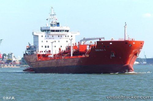
 TRISTAR NATASHA
Current Status
Where is the vessel?
TRISTAR NATASHA is currently in Near Point Comfort, based on AIS data received less than 1h ago.
Latest AIS update:
Current position: 28.64523° N, 96.55301° W (Near Point Comfort)
Average speed (last 7 days): Loading…
Average speed (last 30 days): Loading…
Vessel profile: TRISTAR NATASHA is a Tanker with dimensions m x m.
This page combines live AIS, route history, probable destination signals, nearby traffic, and port activity for practical vessel monitoring.
The current position of vessel TRISTAR NATASHA is 28.64523 lat / -96.55301 lng. Updated: 2026-05-13 16:50:32 UTCNearest reference points:
- Near Port Lavaca
- Near Matagorda Bay
- 14 nm E of PALACIOS
Currently sailing under the flag of Marshall Islands ![]()
Details:
Live Vessel TRISTAR NATASHA Analytics (details, animations, etc.)
Recent AIS points (UTC):
2026-05-13 13:29:06 UTC · 28.64521, -96.55303 · SOG 0 kn · COG 269°2026-05-13 13:56:06 UTC · 28.64521, -96.55303 · SOG 0 kn · COG 269°
2026-05-13 15:59:31 UTC · 28.64521, -96.55303 · SOG 0 kn · COG 269°
2026-05-13 16:50:32 UTC · 28.64523, -96.55301 · SOG 0 kn · COG 269°