 vesseltracker.com
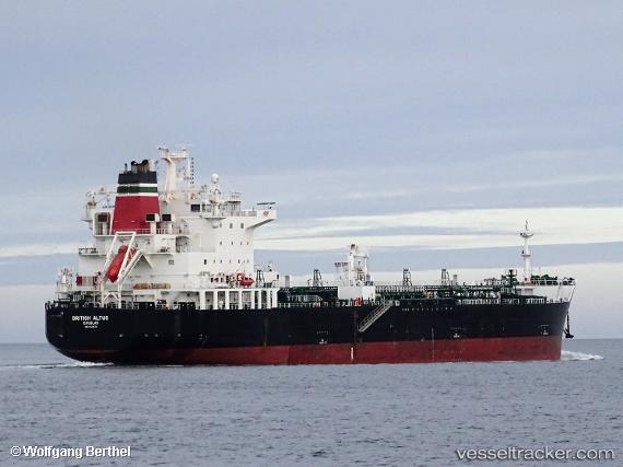
 SEA ALTUS
Current Status
Where is the vessel?
SEA ALTUS is currently in 31 nm SE of Bolt Head, based on AIS data received less than 1h ago.
Latest AIS update:
Current position: 49.86894° N, 3.19579° W (31 nm SE of Bolt Head)
Average speed (last 7 days): Loading…
Average speed (last 30 days): Loading…
Vessel profile: SEA ALTUS is a Chemical/Oil Products Tanker with dimensions 183m x 32m.
This page combines live AIS, route history, probable destination signals, nearby traffic, and port activity for practical vessel monitoring.
The current position of vessel SEA ALTUS is 49.86894 lat / -3.19579 lng. Updated: 2026-05-13 10:20:50 UTCNearest reference points:
- 16 nm SE of Brixham
- 23 nm NW of Saint Sampson
- Near Brixham
Currently sailing under the flag of Marshall Islands ![]()
SEA ALTUS built in 2017 year
Deadweight:
39999 tDetails:
Live Vessel SEA ALTUS Analytics (details, animations, etc.)
Recent AIS points (UTC):
2026-05-13 03:34:51 UTC · 50.21440, -1.54262 · SOG 8.5 kn · COG 259°2026-05-13 04:03:49 UTC · 50.19950, -1.64645 · SOG 8.5 kn · COG 259°
2026-05-13 06:13:09 UTC · 50.12393, -2.10433 · SOG 9 kn · COG 255°
2026-05-13 10:20:50 UTC · 49.86894, -3.19579 · SOG 11.7 kn · COG 240°