 vesseltracker.com
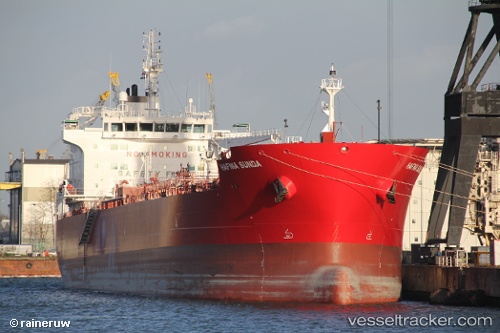
 SUNDA
SUNDA
Current Status
Where is the vessel?
SUNDA is currently in Near Vasilikos, based on AIS data received less than 1h ago.
Latest AIS update:
Current position: 34.69870° N, 33.34349° E (Near Vasilikos)
Average speed (last 7 days): Loading…
Average speed (last 30 days): Loading…
Vessel profile: SUNDA is a Tanker with dimensions m x m.
This page combines live AIS, route history, probable destination signals, nearby traffic, and port activity for practical vessel monitoring.
The current position of vessel SUNDA is 34.69870 lat / 33.34349 lng. Updated: 2026-05-13 01:30:02 UTCNearest reference points:
- 17 nm S of Vasilikos
- Near Limassol
- Near Larnaca
Currently sailing under the flag of Marshall Islands ![]()
Details:
Live Vessel SUNDA Analytics (details, animations, etc.)
Recent AIS points (UTC):
2026-05-12 22:15:02 UTC · 34.69738, 33.34358 · SOG 0 kn · COG 308°2026-05-12 22:30:09 UTC · 34.69746, 33.34365 · SOG 0 kn · COG 303°
2026-05-12 23:36:08 UTC · 34.69745, 33.34367 · SOG 0 kn · COG 297°
2026-05-13 01:30:02 UTC · 34.69870, 33.34349 · SOG 0 kn · COG 249°