 vesseltracker.com
 OCEAN HARMONY
Current Status
Where is the vessel?
OCEAN HARMONY is currently in Near Wickham, based on AIS data received less than 1h ago.
Latest AIS update:
Current position: 32.90215° S, 151.77049° E (Near Wickham)
Average speed (last 7 days): Loading…
Average speed (last 30 days): Loading…
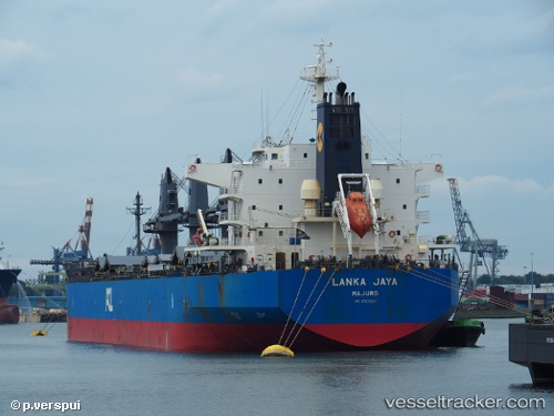
Vessel profile: OCEAN HARMONY is a Cargo with dimensions m x m.
This page combines live AIS, route history, probable destination signals, nearby traffic, and port activity for practical vessel monitoring.
The current position of vessel OCEAN HARMONY is -32.90215 lat / 151.77049 lng. Updated: 2026-04-25 05:45:35 UTCNearest reference points:
- Near Warners Bay
- Near Caves Beach
- Near BILGOLA PLATEAU
Currently sailing under the flag of Liberia ![]()
Details:
Live Vessel OCEAN HARMONY Analytics (details, animations, etc.)
Recent AIS points (UTC):
2026-04-25 01:33:33 UTC · -32.90215, 151.77049 · SOG 0 kn · COG 173°2026-04-25 04:06:34 UTC · -32.90215, 151.77048 · SOG 0 kn · COG 173°
2026-04-25 04:18:35 UTC · -32.90216, 151.77049 · SOG 0 kn · COG 173°
2026-04-25 05:45:35 UTC · -32.90215, 151.77049 · SOG 0 kn · COG 173°