 vesseltracker.com
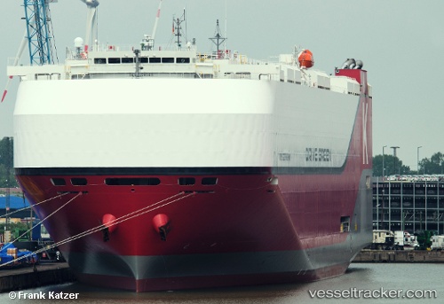
 DRIVE GREEN HIGHWAY
Current Status
Where is the vessel?
DRIVE GREEN HIGHWAY is currently in 111 nm W of Stompneus, based on AIS data received less than 1h ago.
Latest AIS update:
Current position: 31.75780° S, 15.76229° E (111 nm W of Stompneus)
Average speed (last 7 days): Loading…
Average speed (last 30 days): Loading…
Vessel profile: DRIVE GREEN HIGHWAY is a Cargo with dimensions m x m.
This page combines live AIS, route history, probable destination signals, nearby traffic, and port activity for practical vessel monitoring.
The current position of vessel DRIVE GREEN HIGHWAY is -31.75780 lat / 15.76229 lng. Updated: 2026-05-16 18:05:49 UTCNearest reference points:
- 167 nm SW of Koiingnaas
- 154 nm W of Koiingnaas
- 116 nm SW of Saldanha Bay
Currently sailing under the flag of Japan ![]()
Details:
Live Vessel DRIVE GREEN HIGHWAY Analytics (details, animations, etc.)
Recent AIS points (UTC):
2026-05-16 14:08:33 UTC · -32.61699, 16.49835 · SOG 15.9 kn · COG 327°2026-05-16 15:33:25 UTC · -32.29610, 16.25749 · SOG 16.2 kn · COG 324°
2026-05-16 17:04:48 UTC · -31.97447, 15.95974 · SOG 16.4 kn · COG 325°
2026-05-16 18:05:49 UTC · -31.75780, 15.76229 · SOG 16.1 kn · COG 325°