 vesseltracker.com
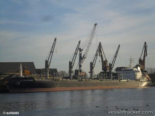
 AFRICAN LOGRUNNER
Current Status
Where is the vessel?
AFRICAN LOGRUNNER is currently in Near Werribee South, based on AIS data received less than 1h ago.
Latest AIS update:
Current position: 38.02599° S, 144.81155° E (Near Werribee South)
Average speed (last 7 days): Loading…
Average speed (last 30 days): Loading…
Vessel profile: AFRICAN LOGRUNNER is a Bulk Carrier with dimensions 180m x 180m.
This page combines live AIS, route history, probable destination signals, nearby traffic, and port activity for practical vessel monitoring.
The current position of vessel AFRICAN LOGRUNNER is -38.02599 lat / 144.81155 lng. Updated: 2026-05-13 13:38:06 UTCNearest reference points:
- Near Spotswood
- Near Drysdale
- Near QUEENSCLIFF
Currently sailing under the flag of Bahamas ![]()
AFRICAN LOGRUNNER built in 2015 year
Deadweight:
40481 tDetails:
Live Vessel AFRICAN LOGRUNNER Analytics (details, animations, etc.)
Recent AIS points (UTC):
2026-05-13 09:35:13 UTC · -38.02605, 144.81158 · SOG 0 kn · COG 103°2026-05-13 10:26:11 UTC · -38.02606, 144.81146 · SOG 0 kn · COG 101°
2026-05-13 12:17:08 UTC · -38.02628, 144.81145 · SOG 0 kn · COG 92°
2026-05-13 13:38:06 UTC · -38.02599, 144.81155 · SOG 0 kn · COG 102°