 vesseltracker.com
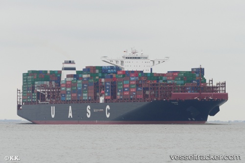
 TIHAMA
Current Status
Where is the vessel?
TIHAMA is currently in 55 nm SE of ZHOUSHAN, based on AIS data received less than 1h ago.
Latest AIS update:
Current position: 29.39890° N, 123.03000° E (55 nm SE of ZHOUSHAN)
Average speed (last 7 days): Loading…
Average speed (last 30 days): Loading…
Vessel profile: TIHAMA is a Cargo A with dimensions m x m.
This page combines live AIS, route history, probable destination signals, nearby traffic, and port activity for practical vessel monitoring.
The current position of vessel TIHAMA is 29.3989 lat / 123.03 lng. Updated: 2026-05-02 16:30:40 UTCNearest reference points:
- 61 nm SE of ZHOUSHAN
- 49 nm SE of ZHOUSHAN
- 50 nm SE of ZHOUSHAN
Currently sailing under the flag of Germany ![]()
Details:
Live Vessel TIHAMA Analytics (details, animations, etc.)
Recent AIS points (UTC):
2026-05-02 13:58:52 UTC · 30.01650, 123.18400 · SOG 15.6 kn · COG 155°2026-05-02 14:00:23 UTC · 30.01080, 123.18800 · SOG 15.7 kn · COG 154°
2026-05-02 15:25:46 UTC · 29.64580, 123.20900 · SOG 16.1 kn · COG 200°
2026-05-02 16:30:40 UTC · 29.39890, 123.03000 · SOG 16.3 kn · COG 213°