 vesseltracker.com
 Maryam D
Current Status
Where is the vessel?
Maryam D is currently in Open sea, approx. 453 nm off the nearest listed port, based on AIS data received about 1h ago.
Latest AIS update:
Current position: 21.10830° S, 5.34500° E (Open sea, approx. 453 nm off the nearest listed port)
Average speed (last 7 days): Loading…
Average speed (last 30 days): Loading…
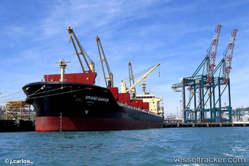
Vessel profile: Maryam D is a Bulk Carrier with dimensions 179m x 30m.
This page combines live AIS, route history, probable destination signals, nearby traffic, and port activity for practical vessel monitoring.
The current position of vessel Maryam D is -21.1083 lat / 5.345 lng. Updated: 2026-04-01 05:21:24 UTCNearest reference points:
- Open sea, approx. 453 nm off the nearest listed port
- Open sea, approx. 455 nm off the nearest listed port
- Open sea, approx. 452 nm off the nearest listed port
Currently sailing under the flag of Malta ![]()
Details:
Live Vessel Maryam D Analytics (details, animations, etc.)
Recent AIS points (UTC):
2026-03-31 23:45:26 UTC · -20.34670, 4.73333 · SOG 10 kn · COG -1°2026-04-01 02:21:25 UTC · -20.70170, 5.01833 · SOG 10 kn · COG -1°
2026-04-01 04:10:00 UTC · -20.95000, 5.21411 · SOG 10.2 kn · COG 139°
2026-04-01 05:21:24 UTC · -21.10830, 5.34500 · SOG 10 kn · COG -1°