 vesseltracker.com
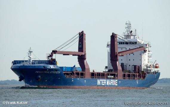
 BRUCE
BRUCE
Current Status
Where is the vessel?
BRUCE is currently in 56 nm N of Sainte-Marie, based on AIS data received about 2h ago.
Latest AIS update:
Current position: 19.95214° S, 55.61236° E (56 nm N of Sainte-Marie)
Average speed (last 7 days): Loading…
Average speed (last 30 days): Loading…
Vessel profile: BRUCE is a General Cargo Ship with dimensions 23m x 147m.
This page combines live AIS, route history, probable destination signals, nearby traffic, and port activity for practical vessel monitoring.
The current position of vessel BRUCE is -19.95214 lat / 55.61236 lng. Updated: 2026-03-28 23:46:27 UTCNearest reference points:
- Near Port Louis
- 164 nm NW of Pointe aux Canonniers
Currently sailing under the flag of Liberia ![]()
BRUCE built in 2016 year
Deadweight:
12370 tDetails:
Live Vessel BRUCE Analytics (details, animations, etc.)
Recent AIS points (UTC):
2026-03-28 17:44:00 UTC · -19.39665, 56.81183 · SOG 12.5 kn · COG 242°2026-03-28 20:03:19 UTC · -19.61702, 56.35294 · SOG 12.4 kn · COG 244°
2026-03-28 22:12:18 UTC · -19.80904, 55.92489 · SOG 12.1 kn · COG 243°
2026-03-28 23:46:27 UTC · -19.95214, 55.61236 · SOG 12.5 kn · COG 242°