 vesseltracker.com
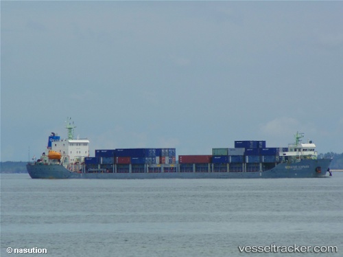
 Meratus Kapuas
Current Status
Where is the vessel?
Meratus Kapuas is currently in 14 nm NE of Okao, based on AIS data received less than 1h ago.
Latest AIS update:
Current position: 3.80500° S, 116.41167° E (14 nm NE of Okao)
Average speed (last 7 days): Loading…
Average speed (last 30 days): Loading…
Vessel profile: Meratus Kapuas is a Container Ship with dimensions 120m x 22m.
This page combines live AIS, route history, probable destination signals, nearby traffic, and port activity for practical vessel monitoring.
The current position of vessel Meratus Kapuas is -3.80500 lat / 116.41167 lng. Updated: 2026-04-25 22:10:49 UTCNearest reference points:
- Near TANJUNG PEMANCINGAN
- 12 nm SE of Bunati
- Near Bunati
Currently sailing under the flag of Indonesia ![]()
Details:
Live Vessel Meratus Kapuas Analytics (details, animations, etc.)
Recent AIS points (UTC):
2026-04-25 18:19:01 UTC · -3.15726, 116.51354 · SOG 10 kn · COG 190°2026-04-25 19:07:02 UTC · -3.29008, 116.49711 · SOG 9.8 kn · COG 190°
2026-04-25 19:34:33 UTC · -3.36336, 116.49022 · SOG 10.1 kn · COG 187°
2026-04-25 22:10:49 UTC · -3.80500, 116.41167 · SOG 10 kn · COG -1°