 vesseltracker.com
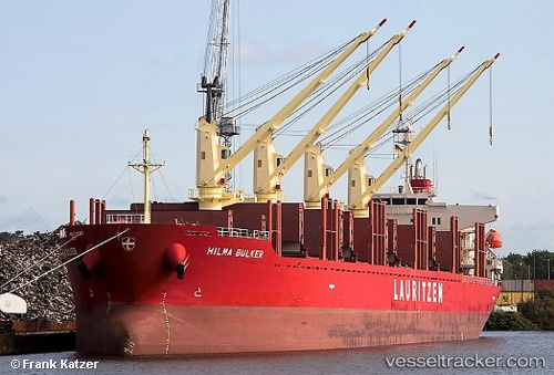
 OCEAN CAPELLA
Current Status
Where is the vessel?
OCEAN CAPELLA is currently in Near WARRENTON, based on AIS data received less than 1h ago.
Latest AIS update:
Current position: 46.20737° N, 123.94424° W (Near WARRENTON)
Average speed (last 7 days): Loading…
Average speed (last 30 days): Loading…
Vessel profile: OCEAN CAPELLA is a Cargo with dimensions m x m.
This page combines live AIS, route history, probable destination signals, nearby traffic, and port activity for practical vessel monitoring.
The current position of vessel OCEAN CAPELLA is 46.20737 lat / -123.94424 lng. Updated: 2026-05-01 21:49:39 UTCNearest reference points:
- Near WARRENTON
- Near Astoria
- Near Grays River
Currently sailing under the flag of Liberia ![]()
Details:
Live Vessel OCEAN CAPELLA Analytics (details, animations, etc.)
Recent AIS points (UTC):
2026-05-01 18:13:20 UTC · 46.34207, -124.36658 · SOG 7.9 kn · COG 140°2026-05-01 19:31:28 UTC · 46.24933, -124.26915 · SOG 6.1 kn · COG 145°
2026-05-01 19:50:29 UTC · 46.22804, -124.24925 · SOG 3.2 kn · COG 146°
2026-05-01 21:49:39 UTC · 46.20737, -123.94424 · SOG 8.8 kn · COG 131°