 vesseltracker.com
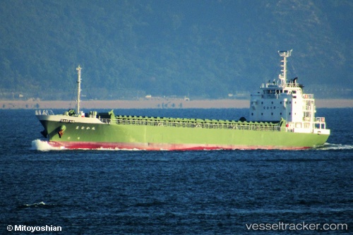
 Manakamaru
Current Status
Where is the vessel?
Manakamaru is currently in 20 nm S of Kosai-Shi, based on AIS data received less than 1h ago.
Latest AIS update:
Current position: 34.38365° N, 137.55371° E (20 nm S of Kosai-Shi)
Average speed (last 7 days): Loading…
Average speed (last 30 days): Loading…
Vessel profile: Manakamaru is a General Cargo Ship with dimensions 85m x 14m.
This page combines live AIS, route history, probable destination signals, nearby traffic, and port activity for practical vessel monitoring.
The current position of vessel Manakamaru is 34.38365 lat / 137.55371 lng. Updated: 2026-05-13 04:47:34 UTCNearest reference points:
- 17 nm S of TOYOHASHI
- Near TOYOHASHI
- 17 nm SW of OMAEZAKI
Currently sailing under the flag of Japan ![]()
Details:
Live Vessel Manakamaru Analytics (details, animations, etc.)
Recent AIS points (UTC):
2026-05-13 01:14:44 UTC · 34.07778, 136.73711 · SOG 12.1 kn · COG 52°2026-05-13 01:14:44 UTC · 34.07778, 136.73711 · SOG 12.1 kn · COG 52°
2026-05-13 03:31:34 UTC · 34.30540, 137.24094 · SOG 12.9 kn · COG 72°
2026-05-13 04:47:34 UTC · 34.38365, 137.55371 · SOG 12.9 kn · COG 69°