 vesseltracker.com
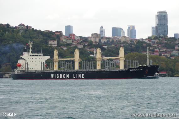
 Bunun Kalon
Current Status
Where is the vessel?
Bunun Kalon is currently in Near KIMITSU, based on AIS data received about 1h ago.
Latest AIS update:
Current position: 35.35916° N, 139.84982° E (Near KIMITSU)
Average speed (last 7 days): Loading…
Average speed (last 30 days): Loading…
Vessel profile: Bunun Kalon is a Bulk Carrier with dimensions 180m x 179m.
This page combines live AIS, route history, probable destination signals, nearby traffic, and port activity for practical vessel monitoring.
The current position of vessel Bunun Kalon is 35.35916 lat / 139.84982 lng. Updated: 2026-04-28 11:39:21 UTCNearest reference points:
- Near Yokosuka
- Near Kawasaki
- Near Naka-Ku, Kanagawa
Currently sailing under the flag of Panama ![]()
Details:
Live Vessel Bunun Kalon Analytics (details, animations, etc.)
Recent AIS points (UTC):
2026-04-28 07:45:18 UTC · 35.35921, 139.84982 · SOG 0 kn · COG 306°2026-04-28 09:57:16 UTC · 35.35919, 139.84981 · SOG 0 kn · COG 306°
2026-04-28 10:33:21 UTC · 35.35918, 139.84979 · SOG 0 kn · COG 306°
2026-04-28 11:39:21 UTC · 35.35916, 139.84982 · SOG 0 kn · COG 306°