 vesseltracker.com
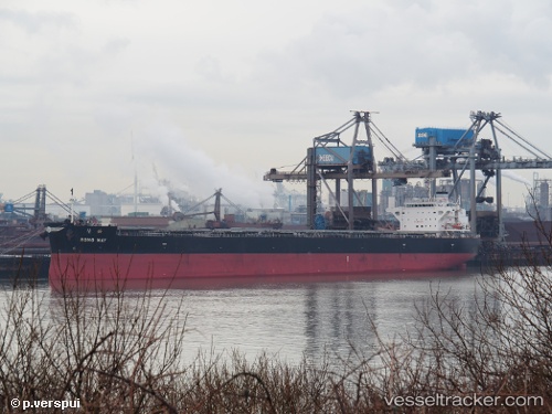
 Rong May
Current Status
Where is the vessel?
Rong May is currently in 29 nm NE of Sao Filipe, based on AIS data received less than 1h ago.
Latest AIS update:
Current position: 15.27788° N, 24.19238° W (29 nm NE of Sao Filipe)
Average speed (last 7 days): Loading…
Average speed (last 30 days): Loading…
Vessel profile: Rong May is a Bulk Carrier with dimensions 228m x 36m.
This page combines live AIS, route history, probable destination signals, nearby traffic, and port activity for practical vessel monitoring.
The current position of vessel Rong May is 15.27788 lat / -24.19238 lng. Updated: 2026-05-16 19:21:49 UTCNearest reference points:
- 39 nm W of Ilha do Sal
- Near Ilha do Sal
- 61 nm NW of Ilha do Sal
Currently sailing under the flag of Liberia ![]()
Details:
Live Vessel Rong May Analytics (details, animations, etc.)
Recent AIS points (UTC):
2026-05-16 16:15:17 UTC · 14.86625, -23.92500 · SOG 9 kn · COG 319°2026-05-16 16:57:22 UTC · 14.95434, -23.98504 · SOG 9 kn · COG 325°
2026-05-16 17:31:14 UTC · 15.02663, -24.03378 · SOG 9.4 kn · COG 329°
2026-05-16 19:21:49 UTC · 15.27788, -24.19238 · SOG 9.7 kn · COG 330°