 vesseltracker.com
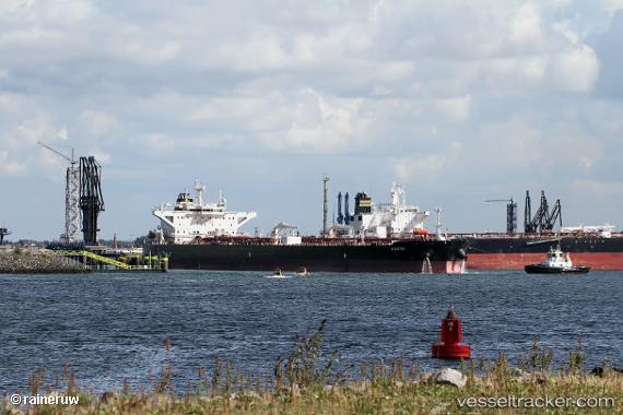
Waikiki
Current StatusWhere is the vessel?
Waikiki is currently in 64 nm NE of Gross Koris, based on AIS data received about 1h ago.
Latest AIS update:
Current position: 14.42833° N, 52.92667° E (64 nm NE of Gross Koris)
Average speed (last 7 days): Loading…
Average speed (last 30 days): Loading…
Vessel profile: Waikiki is a Crude Oil Tanker with dimensions 44m x 250m.
This page combines live AIS, route history, probable destination signals, nearby traffic, and port activity for practical vessel monitoring.
The current position of vessel Waikiki is 14.42833 lat / 52.92667 lng. Updated: 2026-03-27 13:28:55 UTCNearest reference points:
- 110 nm NE of Gross Koris
- 106 nm S of Port Raysut
- 103 nm S of Port Raysut
Details:
Live Vessel Waikiki Analytics (details, animations, etc.)
Recent AIS points (UTC):
2026-03-27 08:04:54 UTC · 15.11667, 53.91000 · SOG 14 kn · COG -1°2026-03-27 10:18:57 UTC · 14.79352, 53.45687 · SOG 15.4 kn · COG 233°
2026-03-27 12:04:58 UTC · 14.56500, 53.14833 · SOG 11 kn · COG -1°
2026-03-27 13:28:55 UTC · 14.42833, 52.92667 · SOG 10 kn · COG -1°