 vesseltracker.com
 ARETI FORCE
Current Status
Where is the vessel?
ARETI FORCE is currently in 82 nm NW of Saldanha Bay, based on AIS data received less than 1h ago.
Latest AIS update:
Current position: 32.43643° S, 16.43879° E (82 nm NW of Saldanha Bay)
Average speed (last 7 days): Loading…
Average speed (last 30 days): Loading…
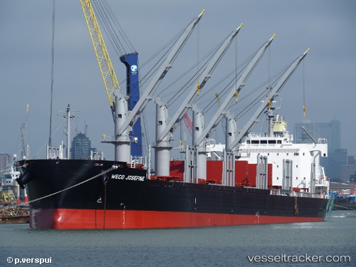
Vessel profile: ARETI FORCE is a Cargo with dimensions m x m.
This page combines live AIS, route history, probable destination signals, nearby traffic, and port activity for practical vessel monitoring.
The current position of vessel ARETI FORCE is -32.43643 lat / 16.43879 lng. Updated: 2026-05-15 04:00:42 UTCNearest reference points:
- Near Saint Helena Bay
- Near Laaiplek
- 116 nm SW of Saldanha Bay
Currently sailing under the flag of Portugal ![]()
Details:
Live Vessel ARETI FORCE Analytics (details, animations, etc.)
Recent AIS points (UTC):
2026-05-14 22:33:47 UTC · -33.27965, 17.17912 · SOG 11 kn · COG 319°2026-05-14 23:57:23 UTC · -33.06665, 16.98911 · SOG 11.7 kn · COG 321°
2026-05-15 01:14:00 UTC · -32.86500, 16.81167 · SOG 11 kn · COG -1°
2026-05-15 04:00:42 UTC · -32.43643, 16.43879 · SOG 11.6 kn · COG 321°