 vesseltracker.com
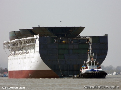
 MARCANDREA
Current Status
Where is the vessel?
MARCANDREA is currently in Near Porto Empedocle, based on AIS data received less than 1h ago.
Latest AIS update:
Current position: 37.28563° N, 13.53137° E (Near Porto Empedocle)
Average speed (last 7 days): Loading…
Average speed (last 30 days): Loading…
Vessel profile: MARCANDREA is a Tug with dimensions m x m.
This page combines live AIS, route history, probable destination signals, nearby traffic, and port activity for practical vessel monitoring.
The current position of vessel MARCANDREA is 37.28563 lat / 13.53137 lng. Updated: 2026-05-15 21:45:55 UTCNearest reference points:
- Near Licata
- Near Gela
- Near Palermo
Currently sailing under the flag of Malta ![]()
Details:
Live Vessel MARCANDREA Analytics (details, animations, etc.)
Recent AIS points (UTC):
2026-05-15 17:51:54 UTC · 37.28562, 13.53137 · SOG 0 kn · COG 328°2026-05-15 19:09:54 UTC · 37.28563, 13.53137 · SOG 0 kn · COG 329°
2026-05-15 19:51:54 UTC · 37.28563, 13.53137 · SOG 0 kn · COG 328°
2026-05-15 21:45:55 UTC · 37.28563, 13.53137 · SOG 0 kn · COG 328°