 vesseltracker.com
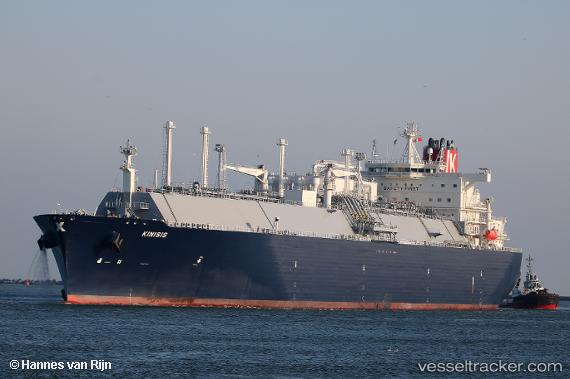
Kinisis
Current StatusWhere is the vessel?
Kinisis is currently in 226 nm NE of Cockburn Town, based on AIS data received less than 1h ago.
Latest AIS update:
Current position: 26.63199° N, 71.50919° W (226 nm NE of Cockburn Town)
Average speed (last 7 days): Loading…
Average speed (last 30 days): Loading…
Vessel profile: Kinisis is a Lng Tanker with dimensions 46m x 295m.
This page combines live AIS, route history, probable destination signals, nearby traffic, and port activity for practical vessel monitoring.
The current position of vessel Kinisis is 26.63199 lat / -71.50919 lng. Updated: 2026-05-15 09:30:49 UTCDetails:
Live Vessel Kinisis Analytics (details, animations, etc.)
Recent AIS points (UTC):
2026-05-15 05:39:06 UTC · 26.75848, -70.50834 · SOG 14.7 kn · COG 262°2026-05-15 07:18:49 UTC · 26.71568, -70.95597 · SOG 14.2 kn · COG 257°
2026-05-15 08:08:09 UTC · 26.68511, -71.16553 · SOG 13.8 kn · COG 258°
2026-05-15 09:30:49 UTC · 26.63199, -71.50919 · SOG 13.3 kn · COG 265°