 vesseltracker.com
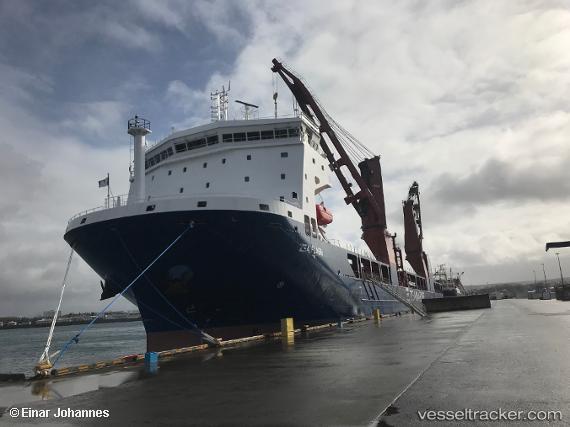
Zea Flash
Current StatusWhere is the vessel?
Zea Flash is currently in 18 nm SW of Goudiniweg, based on AIS data received less than 1h ago.
Latest AIS update:
Current position: 34.81873° S, 19.06694° E (18 nm SW of Goudiniweg)
Average speed (last 7 days): Loading…
Average speed (last 30 days): Loading…
Vessel profile: Zea Flash is a Heavy Load Carrier with dimensions 26m x 150m.
This page combines live AIS, route history, probable destination signals, nearby traffic, and port activity for practical vessel monitoring.
The current position of vessel Zea Flash is -34.81873 lat / 19.06694 lng. Updated: 2026-05-15 23:47:35 UTCNearest reference points:
- 15 nm SE of Moorreesburg
- Near Mitchells Plain
- 18 nm SW of Cape Of Good Hope
Details:
Live Vessel Zea Flash Analytics (details, animations, etc.)
Recent AIS points (UTC):
2026-05-15 19:28:48 UTC · -34.92394, 20.14191 · SOG 12.1 kn · COG 257°2026-05-15 21:44:34 UTC · -34.96521, 19.59003 · SOG 13 kn · COG 286°
2026-05-15 22:13:39 UTC · -34.93017, 19.46728 · SOG 13.6 kn · COG 288°
2026-05-15 23:47:35 UTC · -34.81873, 19.06694 · SOG 13.5 kn · COG 287°